
Naxos Hiking Trail 2: Mount Zas (Zeus) & Zas cave

- Circular: Filoti – Aria Spring – Zas Cave – Zas Summit – Agia Marina – Danakos – Back to Agia Marina – Agia Irene – Filoti
- Distance: 12.8 km
- Duration: 5h 20′
- Difficulty: Challenging
- Bus Routes: Here

Elevation Graph of trail 2

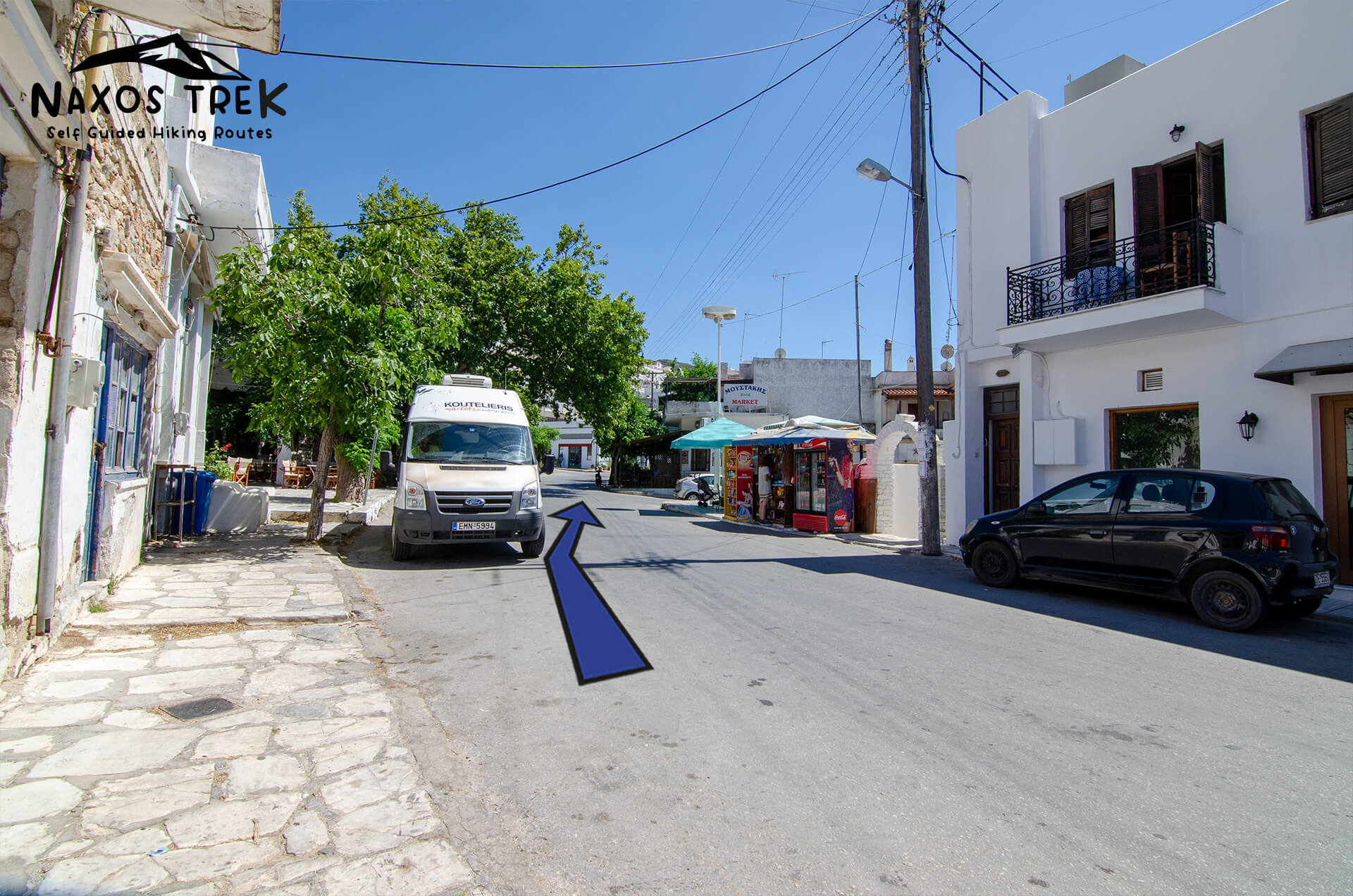
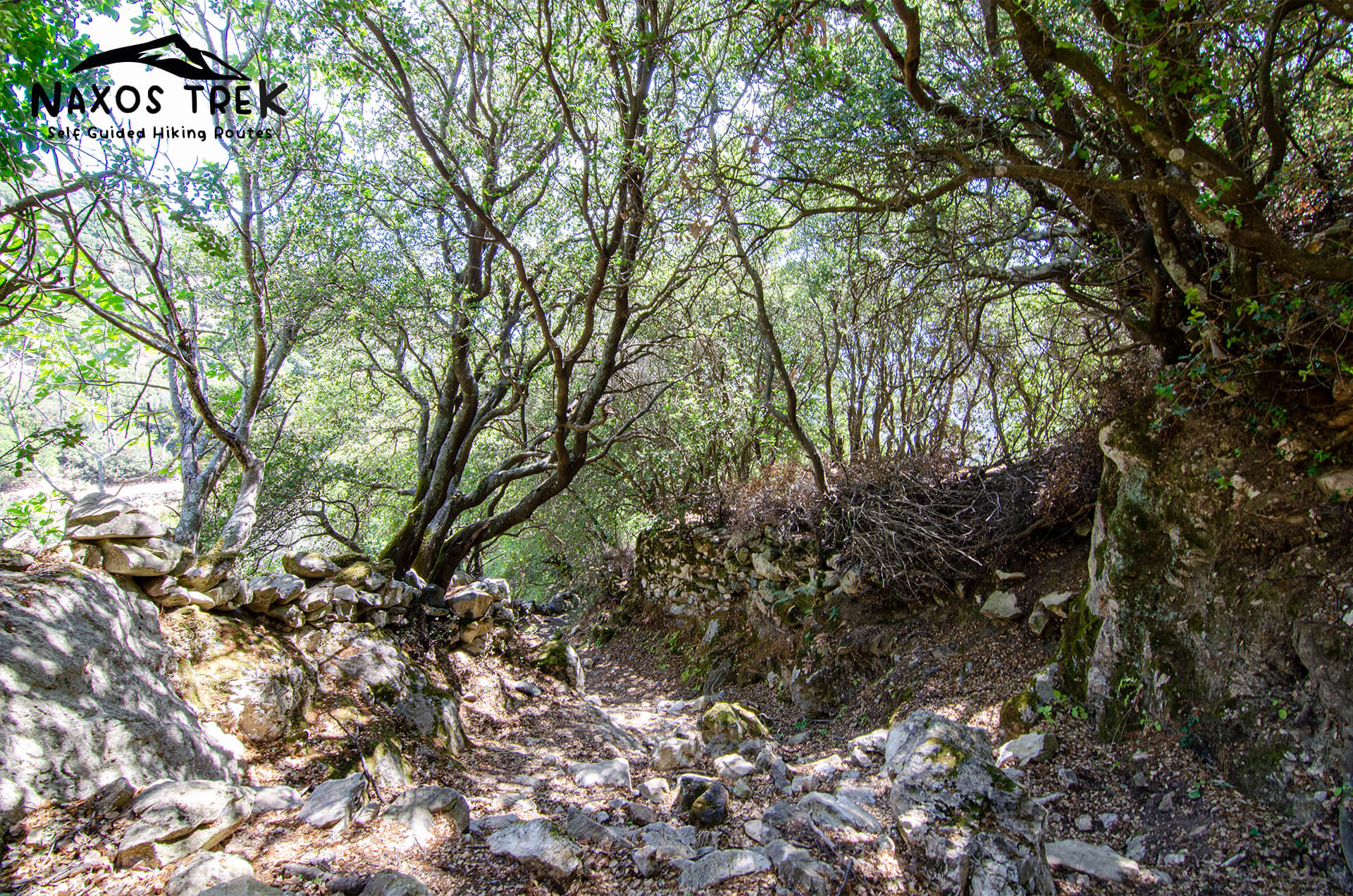
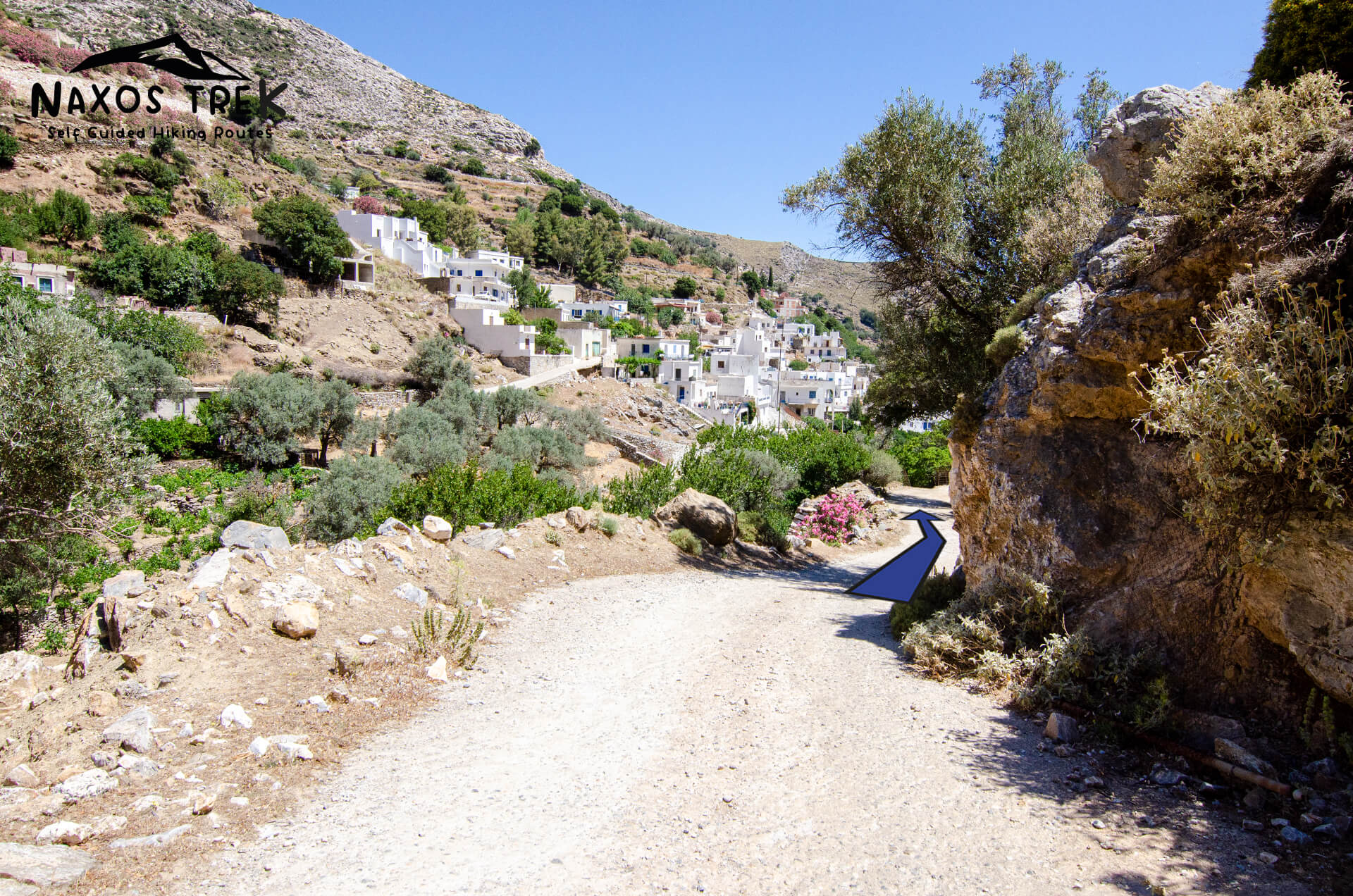
The starting point of the Trail 2

Filoti
Danakos
Kerami
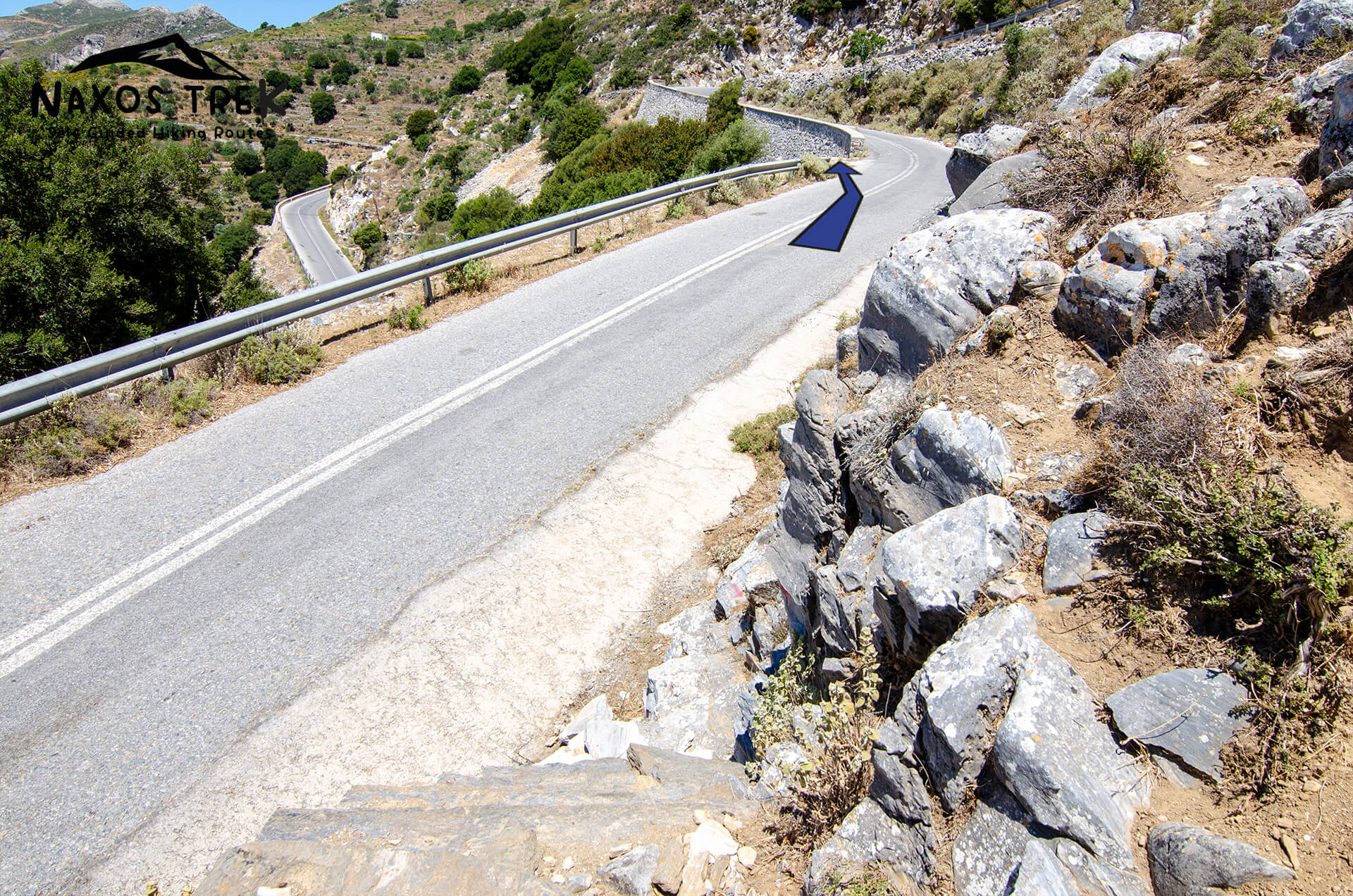
Junction


Aria Spring
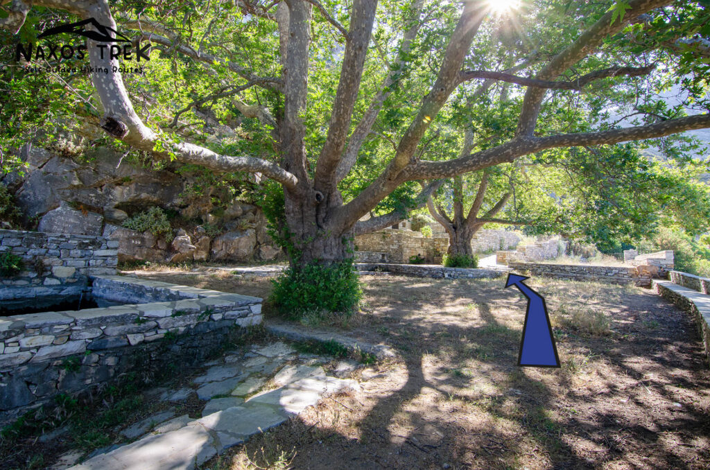
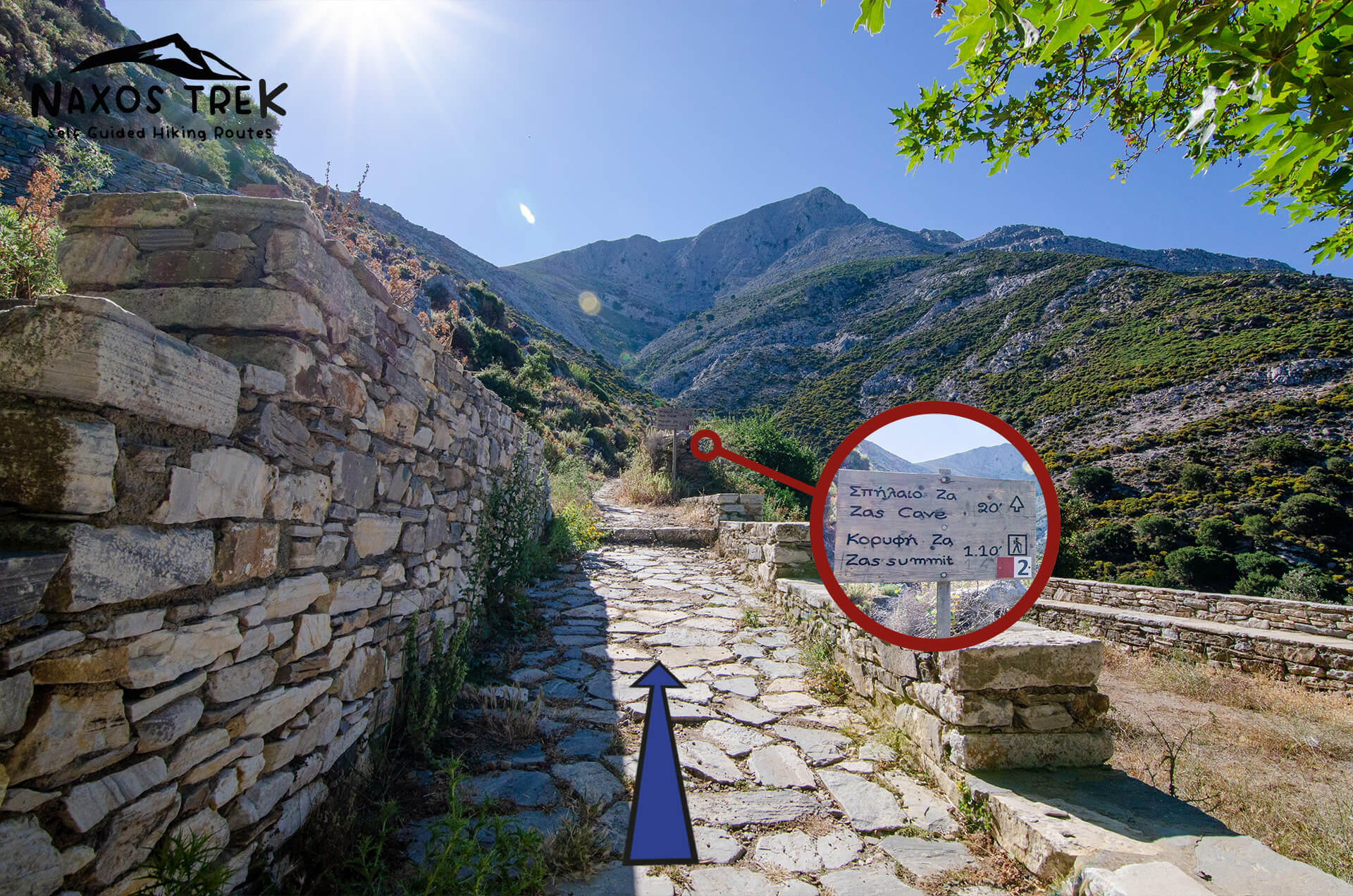
Zas Cave

Enjoy the view!

Zas Summit

Descending Mt Zas

Agia Marina

Danakos

Agia Irene

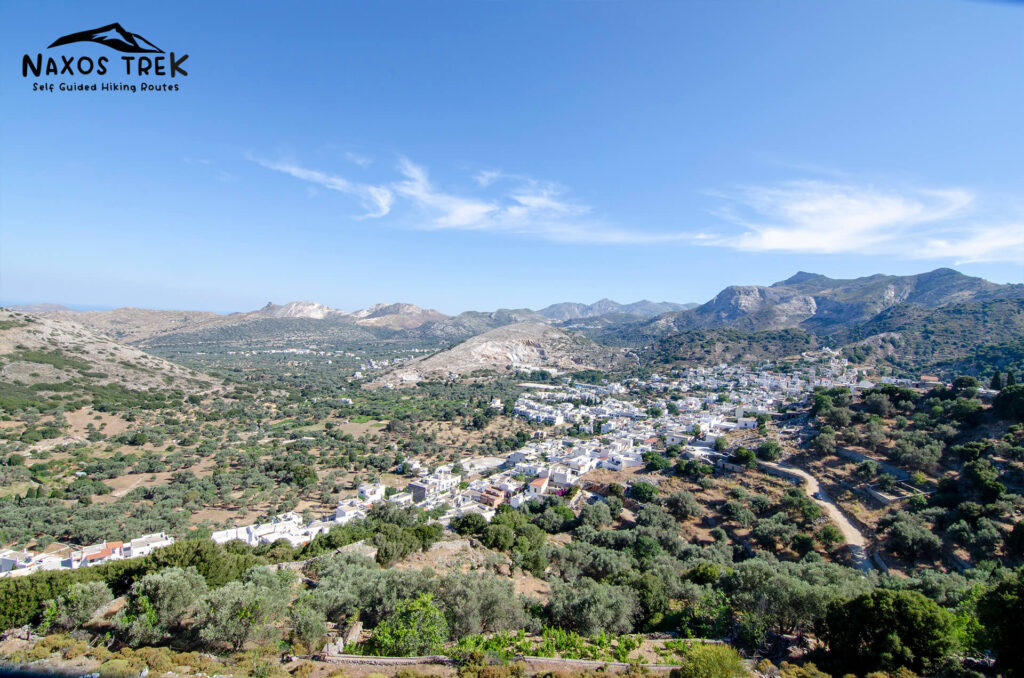
The view from Agios Georgios
At a Glance
Trail 2 begins and ends at the largest village of Naxos, Filoti. It is a loop trail and can be hiked in two ways. At the current page we demonstrate the more difficult but more rewarding way for reaching Mount Zas top.
Filoti, is a 25 minute drive from Chora. The Church Panagia Filotitissa (18th century) and the Venetian Tower Barozzi are some of village’s sights.
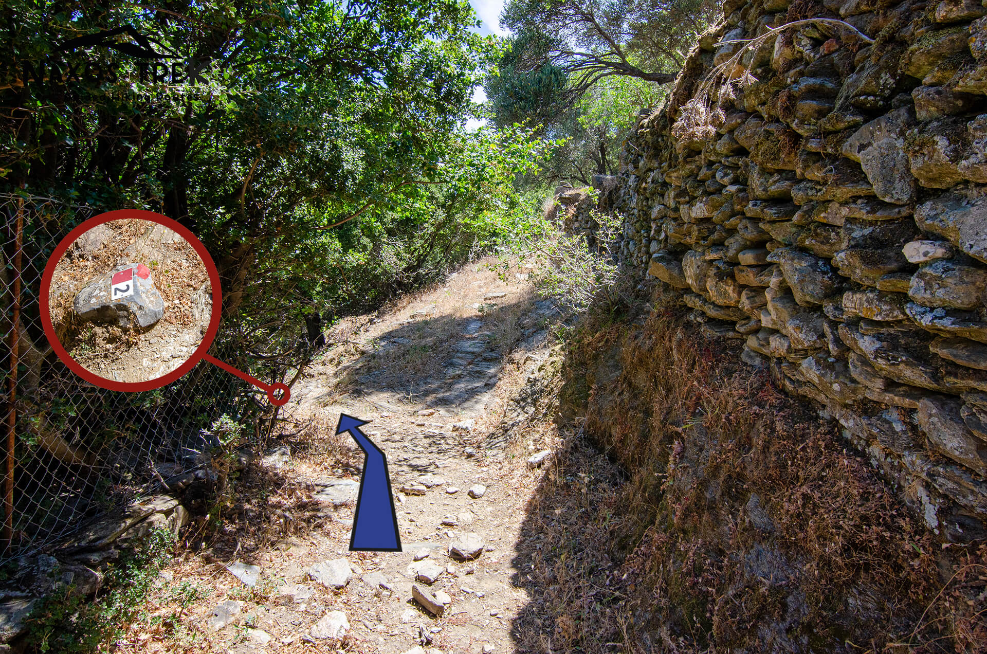
Leaving Filoti and heading towards Zas Summit, you will encounter Aria Spring and Zas Cave.
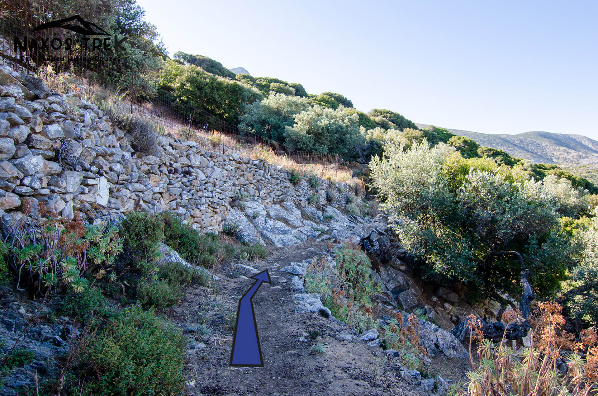
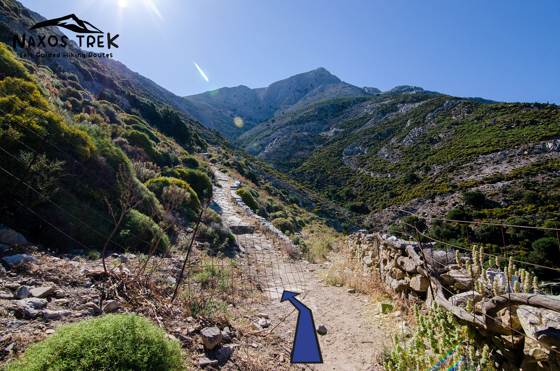
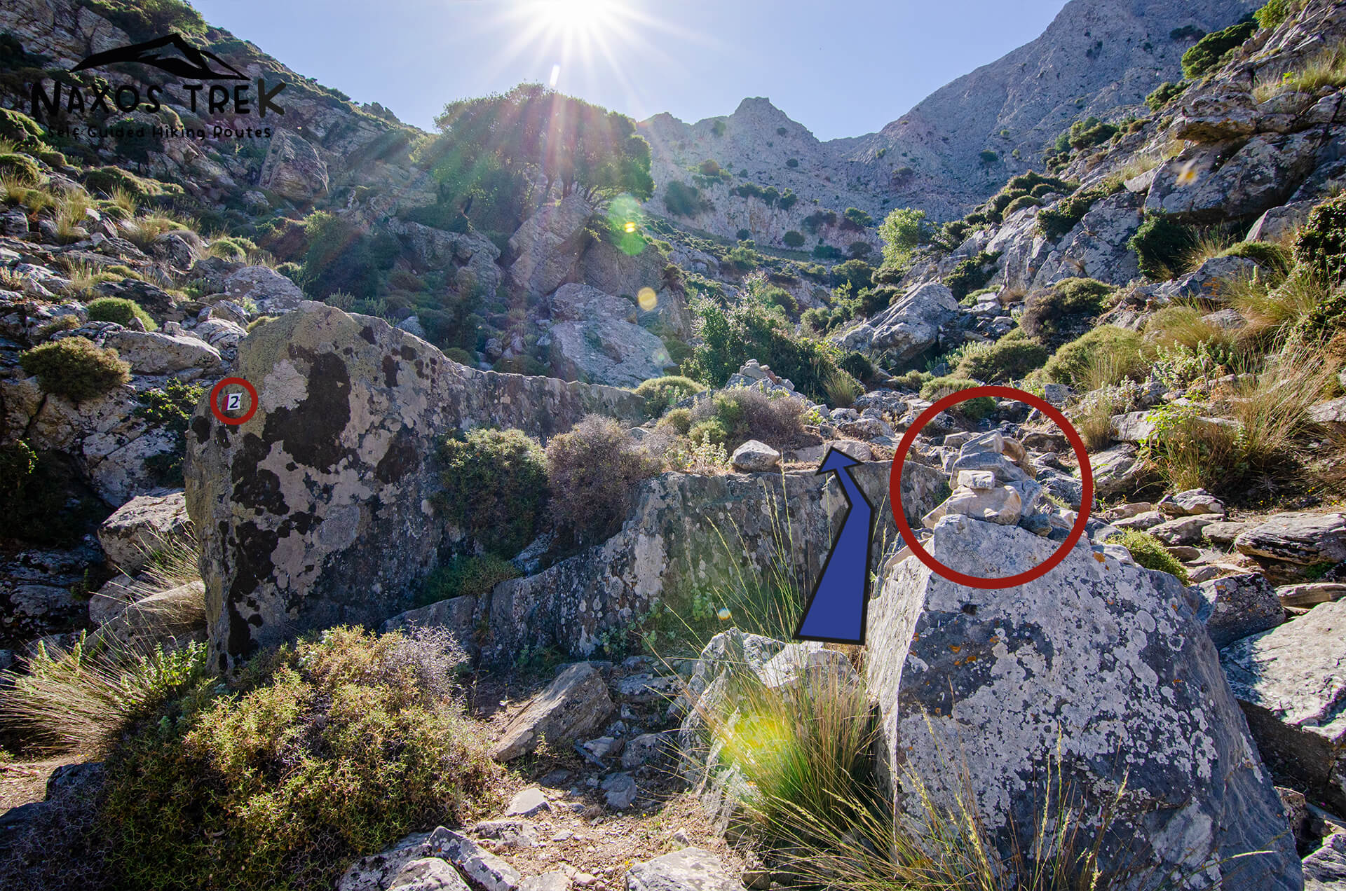
Aria Spring is a great place to rest. Take a deep breath and continue on the trail for 500 meters to find Zas cave. A torch would be handy for taking a look inside. After the cave move on for 1.4km to get to the summit. This part is challenging as the route becomes steep and rough. Cairns and red dots will help you find your way to the summit.
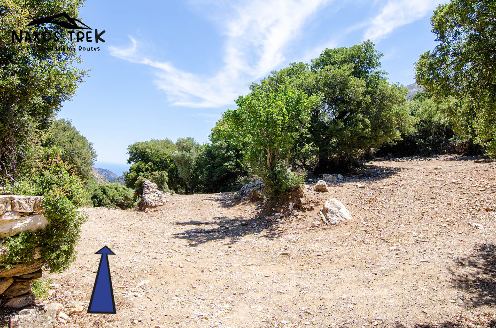
The route to descend Zas is much easier as it is less steep and better marked. You will hike for about 1 hour to reach Agia Marina.
From Agia Marina you can visit Danakos via a side path or head towards Filoti.
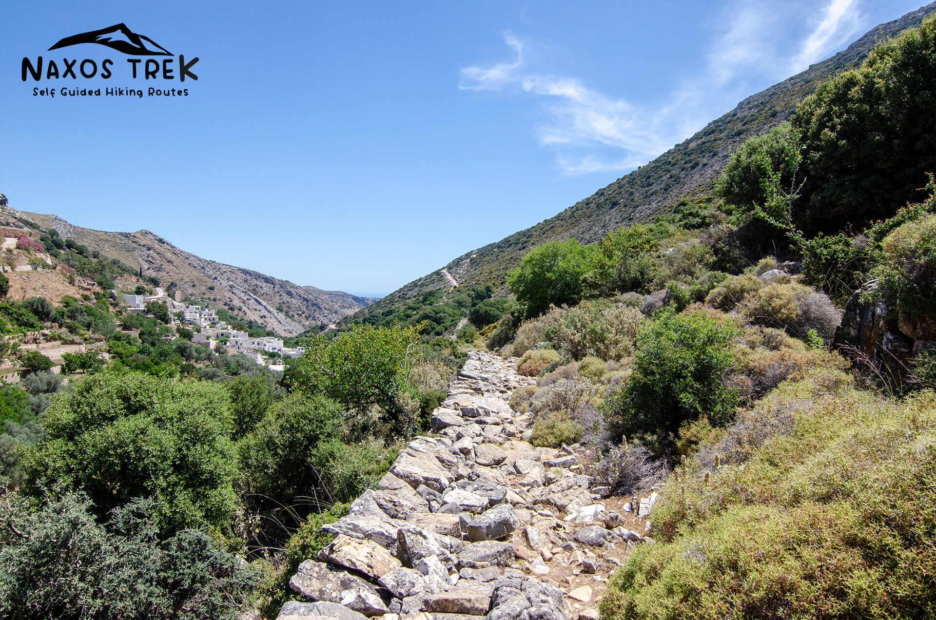
The village of Danakos, which is one of the oldest settlements of Naxos, is 2km away from Agia Marina. It is famous for its water springs and the cultural events that hosts during summer. Hike back to Agia Marina following the same trail and after that you will walk for 1.4km to find Agia Irene and Filoti. This part of the trail includes some walking on the asphalt road, so be careful for the incoming vehicles.
Suggestions:
- Use closed shoes for this trail. Sneakers / Hiking / Trekking shoes would be great.
- Hiking / trekking poles are not required but they will be useful.
- Bring a lot of water with you.
- During summer start hiking early in the morning. There aren’t many places of shade to rest. Also wear hat and sunscreen.


Alternative-Easier ways to get to Zas summit.
- Hike from Filoti to Agia Marina (via Agia Irene) and then to mountain’s top. To return follow the same path on the opposite direction.
- Drive (or take the bus) to Agia Marina and from there follow the trail to the summit. To return take the same path on the opposite direction.
How to get to Ag. Marina by car/bus.
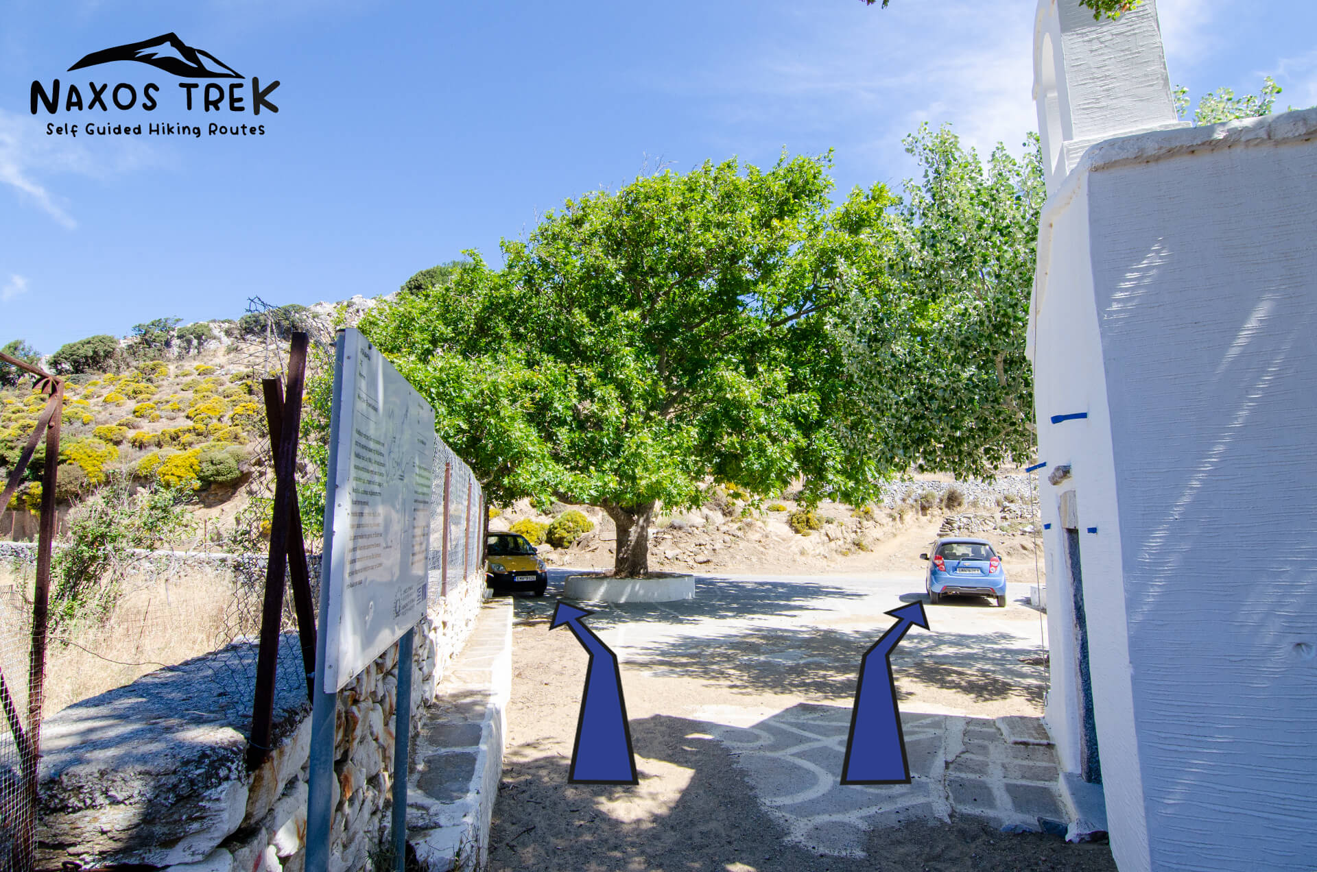
- By car: From Filoti head towards Apiranthos. After 3.3km you will find a junction. Turn right to head to Danakos/ Monastery of Fotodotis. Continue for 800m and you will see Agia Marina on the right side of the road, next to a plane tree. Agia Marina is the second church you will find after the junction. The first one is on top of a hill (Profitis Ilias).
- By bus: The bus stop “Agia Marina” is at the junction described above.