
Naxostrek is designed to help hikers explore the trails of Naxos providing the appropriate guidance.
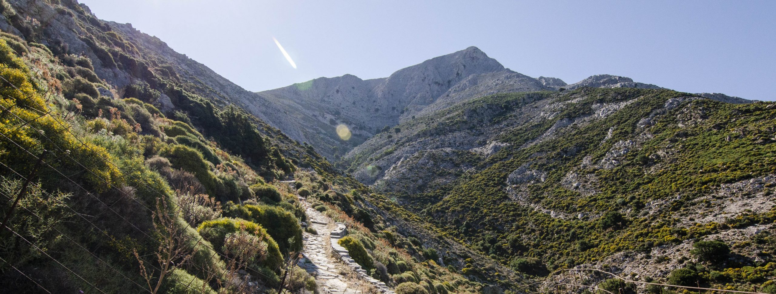
Naxos is the largest Cycladic island. The archaeological sites, the variety in terrain and the abundance of vegetation make it an ideal place to explore. In the past, the trails were the main transportation system of the island. Hiking routes will bring you into contact with traditional villages, ancient and medieval monuments, Byzantine churches and Venetian towers.
Don’t forget to check the weather before each hike. You will avoid adverse weather conditions, which may spoil your walk.

Circular Route (loop), 7.2km, Chalki-Moni-Chalki

Circular Route (loop), 12.8km, Filoti-Mount Zas
Port/Hora
Airport
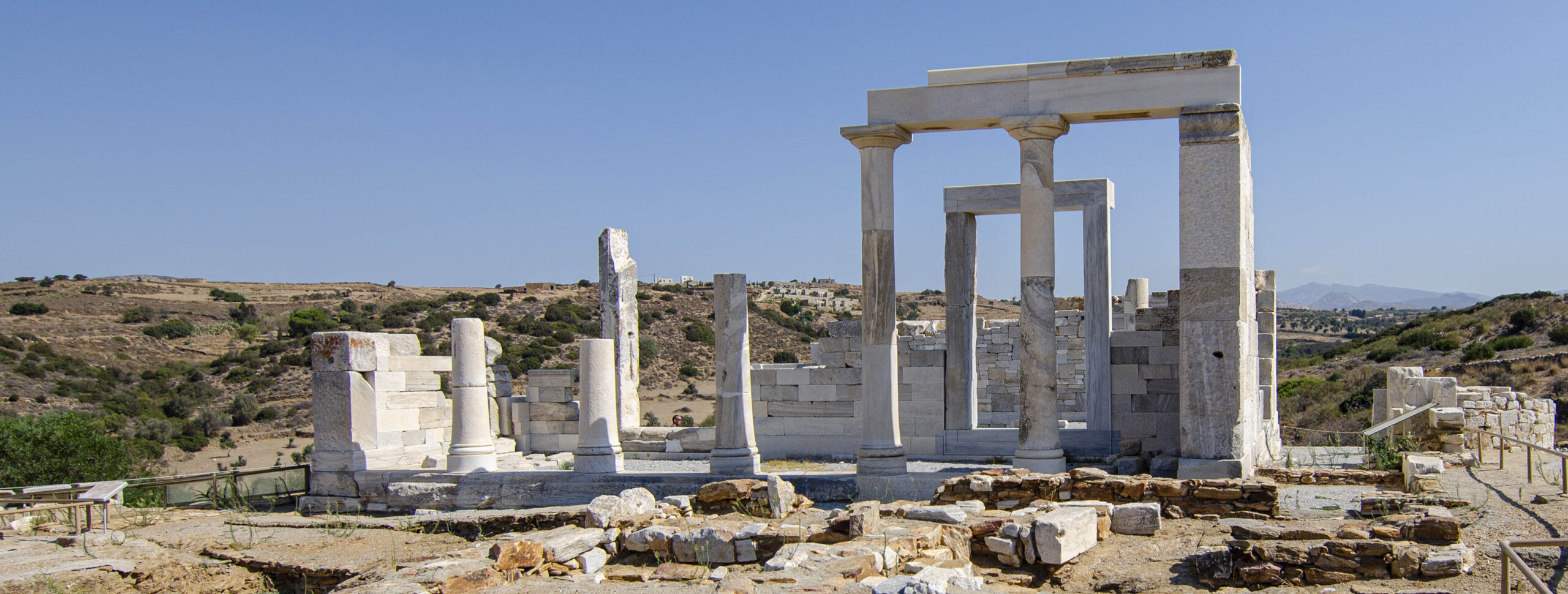
Trail 7, 7.2 km, Tsikalario-Chimarros–Agios Sissois–Agii Anargyri–[Pyrgos Paleologou]–Sagri–[Agios Nikolaos]–Gyroulas (temple of Demeter)
Trails